What are the main geographical regions of Chile?

Post ByAdequate Travel
Summary
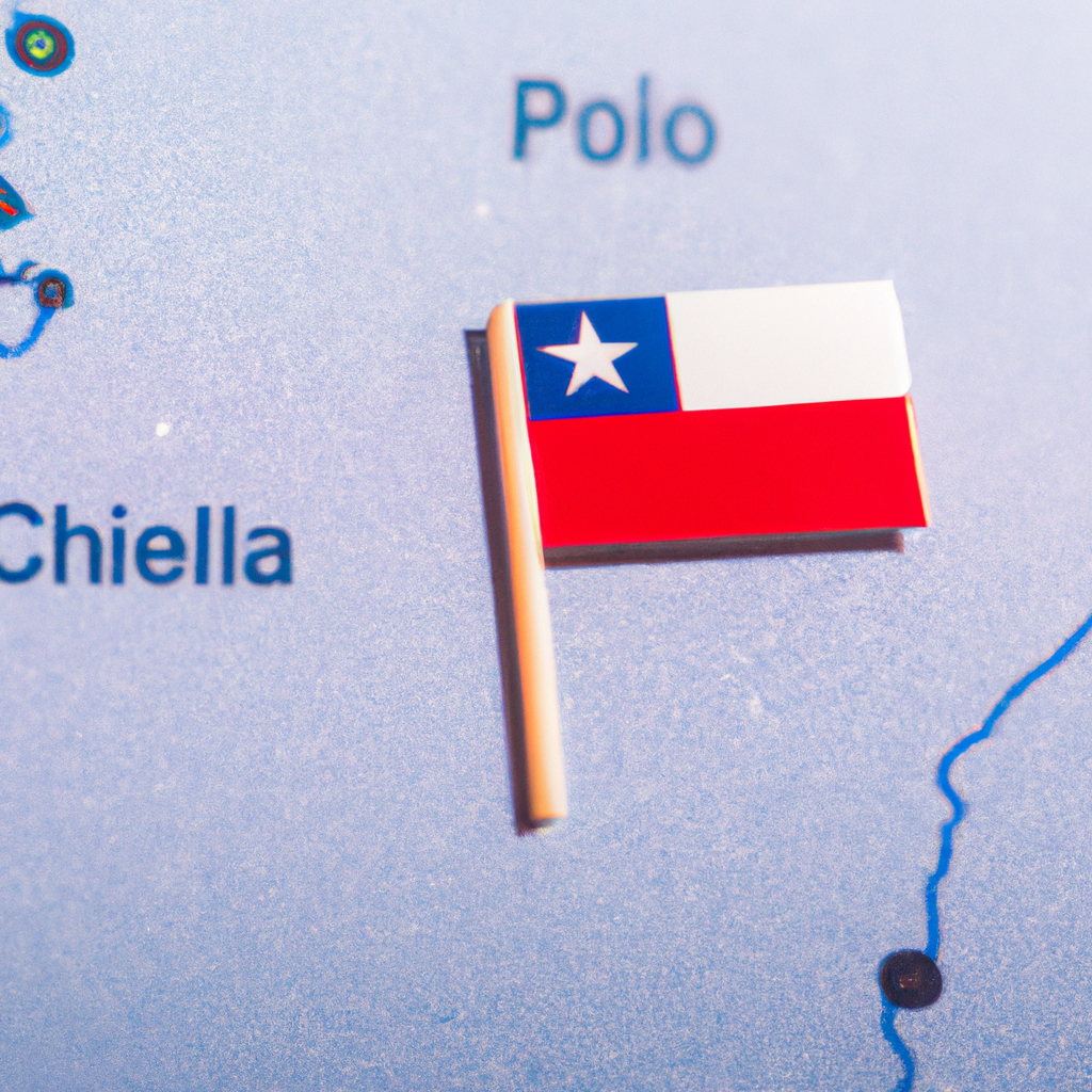
Chile is known for its varied terrain and topography, making it one of the most unique countries in South America. In this blog, we'll explore the different geographical regions of Chile and discover the wonders and diversity this remarkable country has to offer. It's essential to stay updated with international travel information, especially when planning a foreign trip, to navigate any changes in travel advisory or travel warnings.Main Geographical Regions of Chile:
1. Northern Chile:
Located between the Peruvian border and the region of Coquimbo, this region consists mostly of desert landscapes, including the Atacama Desert, one of the driest places on Earth.
2. Central Chile:
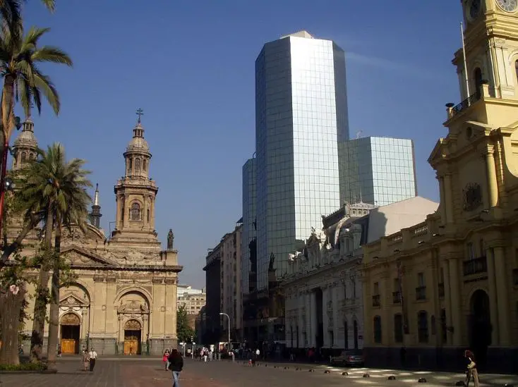
Stretching from the region of Coquimbo to the region of Los Ríos, this region is the most populated and economically developed in Chile. It includes the capital city, Santiago, and features a Mediterranean climate with fertile agricultural valleys.
3. Southern Chile:
Extending from the region of Los Ríos to the south of Chilean Patagonia, this region is characterized by a temperate rainforest climate and abundant natural resources. It encompasses the famous Lake District with its stunning landscapes and numerous lakes.
4. Patagonia:
Located in the southernmost part of Chile, Patagonia is a sparsely populated region known for its wild and rugged landscapes. It includes the Tierra del Fuego archipelago, glaciers, fjords, and the Torres del Paine National Park.
5. Easter Island (Rapa Nui):
Isolated in the Pacific Ocean, this region comprises Easter Island and several smaller islands. It is famous for its iconic Moai statues and unique Polynesian culture.
Before embarking on your journey to chile, make sure to check the latest travel guidelines and entry requirements to ensure a smooth tripSuggested Questions
- Casa de los Diez, Santiago: Horror Story, History & Paranomial Activities
- Casa Cousiño, Santiago: Horror Story, History & Paranomial Activities
- Cementerio General, Coquimbo: Horror Story, History & Paranomial Activities
- Cementerio Parque, Valdivia: Horror Story, History & Paranomial Activities
- Palacio Lyon, Santiago: Horror Story, History & Paranomial Activities
- Casa Dubois, Santiago: Horror Story, History & Paranomial Activities
Questions chile
You may also like
Best Cities in Chile to Visit | Major Cities in Chile
Chile a country that extends across the Pacific Ocean with startling diverse terrain, from the snow-capped Andes and colossal glaciers to a wave-licked coast and desolate desert. The top cities of Chile have reputed tourist’s value. Amid these mind-blowing geographical extremes … Continue reading
The post Best Cities in Chile to Visit | Major Cities in Chile appeared first on World Tour & Travel Guide, Get Travel Tips, Information, Discover Travel Destination | Adequate Travel.
Read More
Most Visited Monuments in Chile | Famous Monuments of Chile
Chile is a scenic, ribbon-shaped South American country situated west of Argentina and the Andes that attracts well over 5 million visitors each year. The monuments in Chile with an abundance of superb colonial historic buildings and conservation areas are … Continue reading
The post Most Visited Monuments in Chile | Famous Monuments of Chile appeared first on World Tour & Travel Guide, Get Travel Tips, Information, Discover Travel Destination | Adequate Travel.
Read More
Latest Travel Restrictions in Chile| 5 Safe Places to Visit in Chile 2021
Chile or the Republic of Chile is a natural wonder that extends along the western edge of South America amidst the crystal clear water of the Pacific Ocean. Chile is the best summer holiday destination where you can enjoy the … Continue reading
The post Latest Travel Restrictions in Chile| 5 Safe Places to Visit in Chile 2021 appeared first on World Tour & Travel Guide, Get Travel Tips, Information, Discover Travel Destination | Adequate Travel.
Read More
10 Best Outdoor Activities in Chile
Chile or the Republic of Chile is one of the adventure hubs nestled on the western edge of South America. With a crystal clear rub of the Pacific Ocean on the side & breath-taking views of The Andes and Chilean … Continue reading
The post 10 Best Outdoor Activities in Chile appeared first on World Tour & Travel Guide, Get Travel Tips, Information, Discover Travel Destination | Adequate Travel.
Read More
Top 8 Nightlife Cities in Chile 2022- Adequate Travel
Facing the vast blue pacific ocean this narrow South American country packs a lot more punch than you can expect. The palm-lined beaches of Plaza de Armas are no wonder the biggest tourist attractions of Chile. But ever wondered what … Continue reading
The post Top 8 Nightlife Cities in Chile 2022- Adequate Travel appeared first on World Tour & Travel Guide, Get Travel Tips, Information, Discover Travel Destination | Adequate Travel.
Read More
15 Best Women Travel Bags: Reviewed & Tested- Get Expert Advice
Get the list of 15 best traveling bags for women. Know the size, material, durability, and other features of the bags.
Read More
12 Best Beaches in Uluwatu | Popular Uluwatu Beaches
Discover the allure of Uluwatu Beaches. Here is the list of the 12 best beaches in Uluwatu that will let you explore the best of Uluwatu's coastal treasures.
Read More
What are the best practices for responsible wildlife viewing in Canada?
Discover essential tips for responsible wildlife viewing in Canada. Respect habitats, minimize disturbances, and support conservation efforts. Start here!
Read More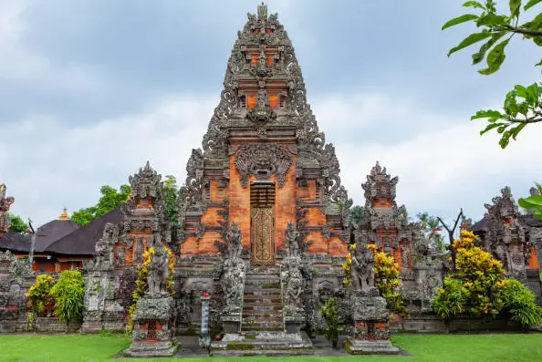
Things to do in bali.
Looking for the best things to do in Bali? Here we have curated the best things and places to visit in Bali on your vacation.
Read More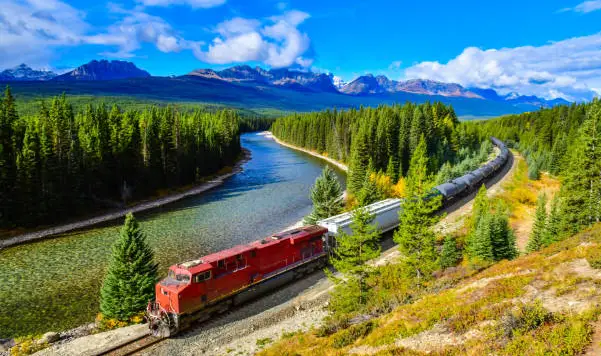
Are there any eco-friendly transportation options for traveling between provinces in Canada?
From electric vehicles and buses to cycling and passenger trains, find eco-friendly ways to journey across the country. Start your green adventure today!
Read More